On the island
Named storms on the island
A rare red warning in January, a wet day in an otherwise ordinary October, and the names Ronaldsway wrote down when the weather arrived.
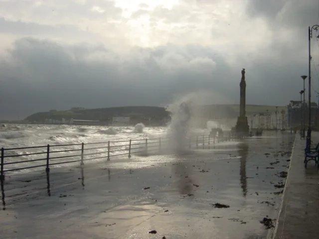
How a storm receives a name is a story for named.storms.im, the sister site. This page is told from the island. It follows the names as they appear in Ronaldsway’s published reports, and it does not add a month, a unit, or a ranking that the official page does not give.
Eowyn, in the 2025 annual report
The year, the report says, “got off to a wintry start with January slightly colder than average, and indeed some snow for many parts of the island, and of course the named storm “Eowyn” on the 24th caused significant damage and tree fall. The gusts over 80mph were the strongest of the year.” [source]
Later, in the wind section, the same official report prints a boxed line: “MAX GUST 70 KNOTS, 24th January.” The prose underneath says the mean wind speed across the year “came to 12.3 knots, which is close to the long term average,” and then: “The main named wind storms during the year were “Eowyn” on the 24th January, with gusts to 70 knots, which prompted a rare red warning and caused serious damage around the island, and storms “Amy” and “Bram” in October and December.” [source]
That is the storm as the year report tells it: snow still on the island, trees down, a rare red warning, and the strongest gusts of the year. The opening story speaks of gusts over 80mph; the wind section records a maximum gust of 70 knots on the same date, 24 January.
Amy and Bram, in October and December
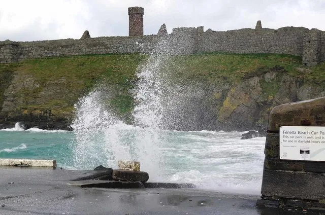
The same wind-section sentence then names “storms “Amy” and “Bram” in October and December.” Those are the other two named wind storms of the official year, set down together in those two months. [source]
Austen and Boelo, in an official October 2026
The next official year on the climatology page already has its own named storms. The October 2026 climate summary, checked on this site on 17 November 2026, says the month was “mild and sunny with stormy spells.” The wettest day “was the 23rd, when 23.7mm fell during Storm Austen, accounting for more than a fifth of the month’s total rainfall.” During Storm Boelo on the 24th, “a gust of 71mph was recorded and an hourly mean speed of 46mph on the 25th, both ranking as the 4th highest October values on record.” [source]
Austen, in that official October, is a rainfall story first: 23.7 mm, more than a fifth of the month’s 109.2 mm, in a single day. Boelo is a wind story: a 71 mph gust on the 24th, and a 46 mph hourly mean on the 25th, both the fourth-highest October values on the record the summary uses. [source]
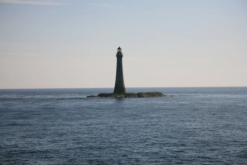
The summary also says stronger winds were more frequent than normal, “with 16 strong-wind days and 4 gale days.” [source]
For live warnings, the official place is always weather.gov.im. A named storm on a published report is a record of what was measured, and of how the office wrote it down. A warning, when one is out, is something you follow now.
Keep exploring
- The 2025 year — Eowyn in the year that almost became the warmest.
- October 2026 — Austen, Boelo, and a sunny official month.
- named.storms.im — the lists, and how a storm is named.
Enjoyed this island weather desk?
No pop-ups. No intrusive advertising. Just interesting stuff. A little support helps the next storms site get built.