Credits
Every photograph on this site
Licences were checked on each Wikimedia Commons file page on 17 November 2026. CC BY-SA images are used on the website only, and are not placed in the downloadable fact sheets.
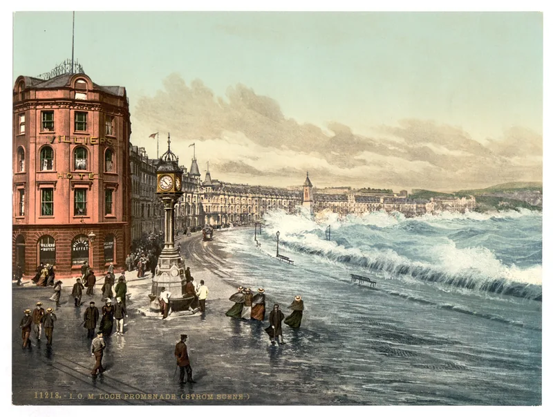
Douglas, loch promenade (storm scene), Isle of Man, LCCN2002697028, a colour photochrom from the Library of Congress. The file dates the print as between 1890 and 1900, a range. It is a historic print, not a modern photograph and not a named-storm record. Photochrom: Photochrom Print Collection, Library of Congress, print no. 11218, dated on the file as between 1890 and 1900 · Public domain · Wikimedia Commons 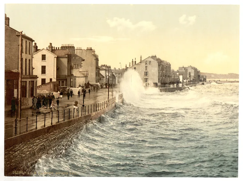
Ramsey, rough sea, Isle of Man, LCCN2002697051, a colour photochrom from the Library of Congress. The file dates the print as between 1890 and 1900, a range. It is a historic print of a rough sea, not a named-storm record. Photochrom: Photochrom Print Collection, Library of Congress, LCCN2002697051, dated on the file as between 1890 and 1900 · Public domain · Wikimedia Commons 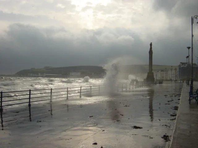
Douglas Promenade in a Storm, photographed by Sue Adair on 27 October 2004, looking south towards the war memorial. The photographer’s caption mentions high tide and storm-force winds; that caption is not a Ronaldsway official measurement. The original is 640 pixels wide, so the website uses 400- and 640-pixel versions only. CC BY-SA 2.0, used on the website only. Photo: Sue Adair, 27 October 2004 · CC BY-SA 2.0 · Wikimedia Commons 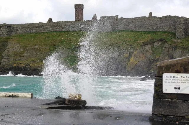
Sea spray at Fenella Beach, photographed by Glyn Baker on 6 April 2016. A photograph of spray, not an official Met Office observation. The original is 640 pixels wide, so the website uses 400- and 640-pixel versions only. CC BY-SA 2.0, used on the website only. Photo: Glyn Baker, 6 April 2016 · CC BY-SA 2.0 · Wikimedia Commons 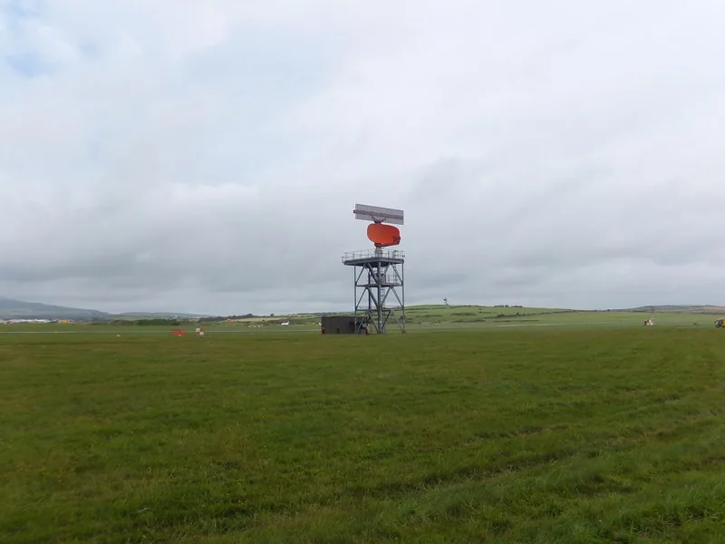
Radar at Ronaldsway, photographed by Richard Hoare on 1 September 2012. A photograph of radar at the airport, not a photograph of the Met Office in Viscount House. CC BY-SA 2.0, used on the website only. Photo: Richard Hoare, 1 September 2012 · CC BY-SA 2.0 · Wikimedia Commons 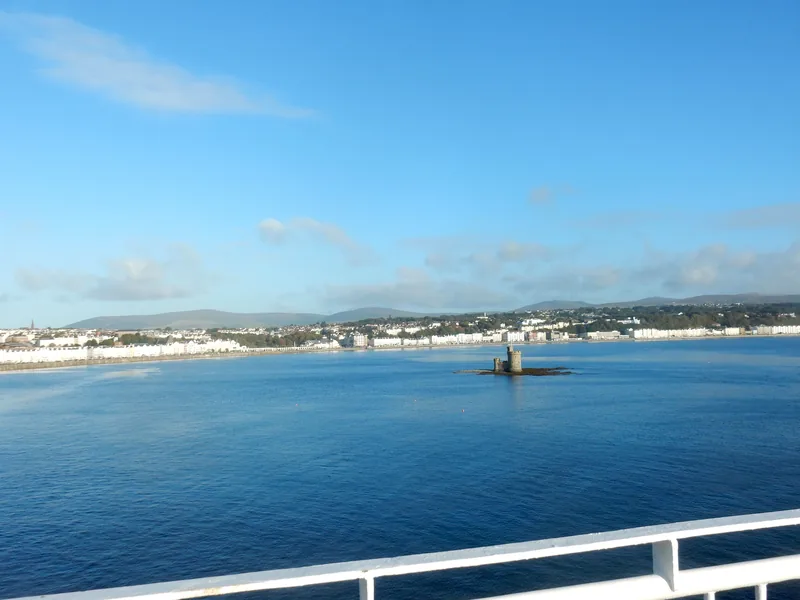
The Tower of Refuge in Douglas Bay, photographed by Stephen Darlington on 25 September 2015. A photograph of the bay, not an official weather observation. CC BY-SA 2.0, used on the website only. Photo: Stephen Darlington, 25 September 2015 · CC BY-SA 2.0 · Wikimedia Commons 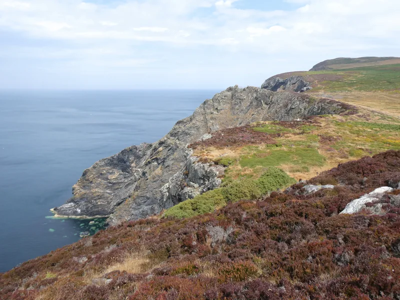
Coastline on Bradda Head, photographed by Gareth James on 3 August 2026. A photograph of the south-west coast, not an official weather observation. CC BY-SA 2.0, used on the website only. Photo: Gareth James, 3 August 2026 · CC BY-SA 2.0 · Wikimedia Commons 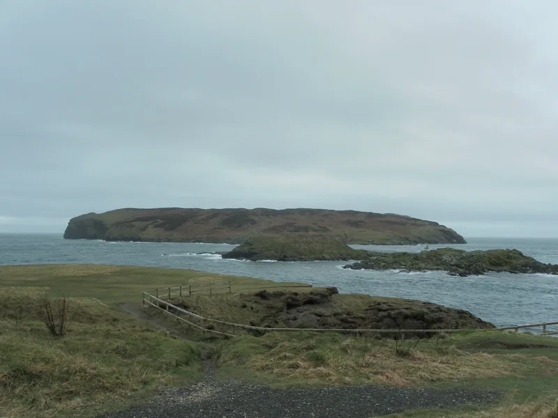
Calf Sound, Isle of Man, photographed by Robsphotos on 24 March 2016. A photograph of the sound, not an official weather observation. CC BY-SA 4.0, used on the website only. Photo: Robsphotos, 24 March 2016 · CC BY-SA 4.0 · Wikimedia Commons 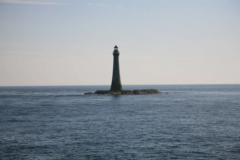
Chicken Rock Lighthouse, photographed by david smith on 15 May 2008 from on board a Sea Cat, as the file describes it. A photograph of the lighthouse and the sea, not an official weather observation. CC BY-SA 2.0, used on the website only. Photo: david smith, 15 May 2008 · CC BY-SA 2.0 · Wikimedia Commons 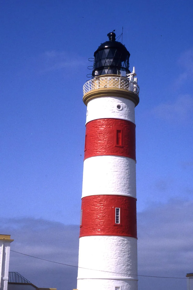
Point of Ayre Lighthouse, photographed by Colin Park on 9 May 1993. A photograph of the island’s northern lighthouse, not an official weather observation. The original is 1,199 pixels wide, so the website uses 400- and 800-pixel versions only. CC BY-SA 2.0, used on the website only. Photo: Colin Park, 9 May 1993 · CC BY-SA 2.0 · Wikimedia Commons 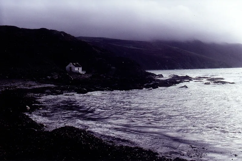
A thatched fisherman’s cottage at Niarbyl in misty air, photographed by Joseph Mischyshyn on 7 October 1999. A photograph of the west coast in mist, not an official weather observation. CC BY-SA 2.0, used on the website only. Photo: Joseph Mischyshyn, 7 October 1999 · CC BY-SA 2.0 · Wikimedia Commons 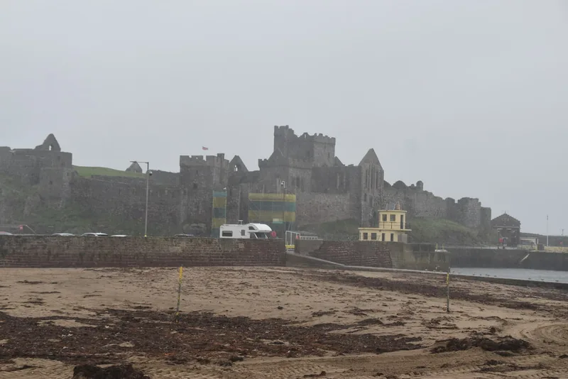
Peel Castle, photographed by N Chadwick on 5 October 2023. A photograph of the castle and the bay, not an official weather observation. The original is 1,024 pixels wide, so the website uses 400- and 800-pixel versions only. CC BY-SA 2.0, used on the website only. Photo: N Chadwick, 5 October 2023 · CC BY-SA 2.0 · Wikimedia Commons
Enjoyed this island weather desk?
No pop-ups. No intrusive advertising. Just interesting stuff. A little support helps the next storms site get built.