1946, and 1947
The first observations
A barn on a naval airfield, a spring day in 1946, and then a walk out to the instruments that has not skipped Christmas.
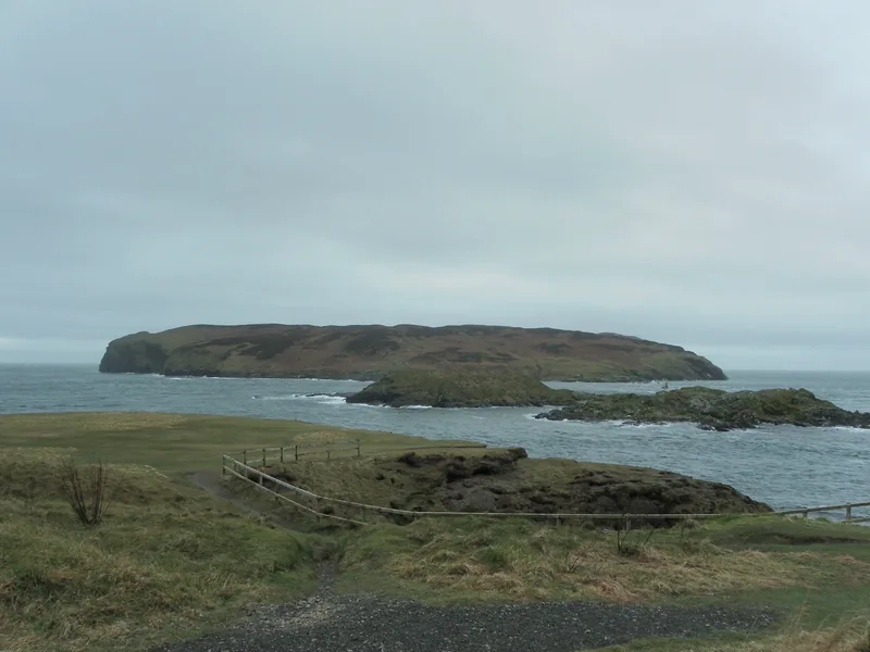
If you only read one official page, you would take away a very clear beginning. The about-us page on weather.gov.im says: “The first observations were taken from a barn to the SE of the airfield, near to where the fire station is now, on May 7th 1946, with a proper home on the 1st floor of the control tower established a few weeks later.” It adds that the field was HMS Urley, and that “observations have been made every hour of every day since, 24/7, including Christmas.” [source]
That is a beginning you can walk to in your mind: a barn, south-east of the airfield, on a spring day in 1946, a few weeks before the observers moved upstairs in the control tower. It is also, in the same official telling, the start of a continuous hourly series that has not skipped Christmas.
If you then open the published climate reports, you meet another official sentence. The Ronaldsway MET. Office Annual Observations Report 2025, on its closing page, says: “All measurements taken at Ronaldsway Met Office. Measurements began in 1947.” The instrumentation, exposure, siting and calibration, it adds, “are independently inspected annually to ensure compliance with World Meteorological Organisation criteria for climate sites. Routine instrument checks are carried out daily.” [source]
The October 2026 climate summary has a footnote in the same spirit: “Most Isle of Man meteorological records date from 1947, when observations began at Ronaldsway.” [source]
A barn, a tower, and a walk that did not stop
That is the story the official history tells: a day, a barn, a move upstairs a few weeks later, and then the hourly series that followed. The published climate reports date the measurement record from 1947. Those two official accounts sit in more detail on the field notes and sources pages; this page stays with the walk that started in the barn.
What the about-us page then gives you, after that first spring, is the texture of the work. No electrical thermometers until 1972. No heating in the control tower until a paraffin heater arrived in 1959, with one shared duffle coat. Celsius in 1961. Manx Radio in June 1964. Civil Service status in 1965. A locked door from 1973, because airport security had begun and the instruments were still outside. [source]
And always, in the official phrasing, the walk itself: out to the enclosure, every hour, “in whatever conditions.” The worse the weather, the more the reading mattered. That is the picture this page is for: the day someone first stepped into a barn and started to write the island’s weather down.
Keep exploring
- Ronaldsway Met Office — the official history, coat and all.
- The 2025 year — what those measurements looked like in a very warm year.
- Sources — the about-us page and the reports, with their official sentences intact.
Enjoyed this island weather desk?
No pop-ups. No intrusive advertising. Just interesting stuff. A little support helps the next storms site get built.