manx.storms.im
Storms and sea weather around the Isle of Man
Told from the island: a barn in 1946, a shared duffle coat, a rare red warning, rain from Austen, wind from Boelo, and a year that slipped after Christmas.
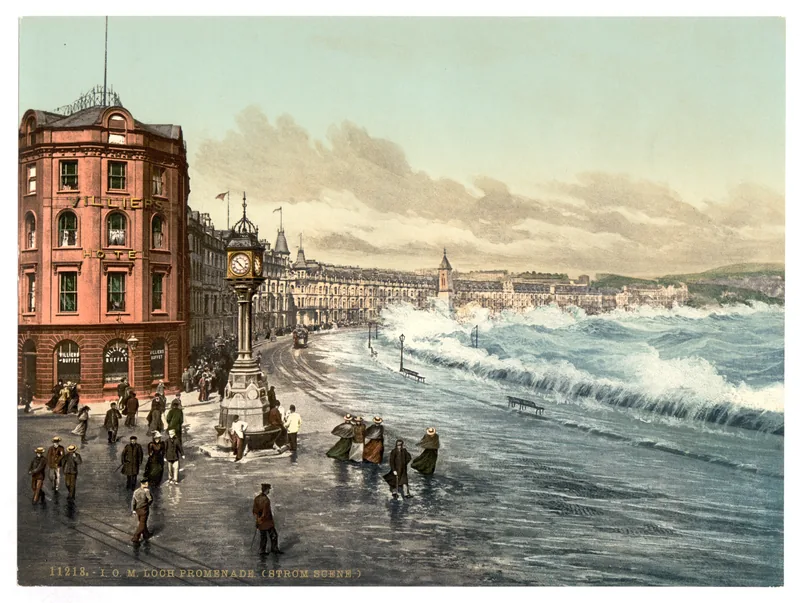
A desk of island weather stories
Pick a story. The barn, the shared coat, a rare red warning, and a year that nearly became the warmest — then slipped, after Christmas.
Ronaldsway Met Office has been reading the island’s weather since, in the about-us page’s words, “the first observations were taken from a barn to the SE of the airfield, near to where the fire station is now, on May 7th 1946.” The field was then HMS Urley. Observations have been made every hour of every day since, “24/7, including Christmas.” [source]
That is a remarkable official sentence, and it is only the start of the story. In the early years there was no heating in the control tower. Electrical thermometers and cloud-base recorders did not come into use until 1972, so observers walked out to the instruments in whatever conditions arrived — “the worse the conditions, the more important it was to go out and measure them.” In 1959 they were given a paraffin heater and one duffle coat, “just one for all staff to share.” Two years later came one oilskin, one pair of boots “big enough for anybody’s feet,” and one souwester.
A year that almost became the warmest
The Ronaldsway MET. Office Annual Observations Report 2025, published on 8 January 2026, is headed “2025 – One of The Warmest on Record.” The 24-hour mean temperature for the year came to 11.27°C, well above the 1991–2020 average of 10.41°C, which put 2025 into second warmest, behind 2023. “Right up until Christmas it was looking like it would be the warmest, but a change to cooler conditions in the last week brought the average down into 2nd place.” The daily maxima, taken across the year, came to 13.79°C, “the highest on record.” [source]
January was slightly colder than average, with some snow for many parts of the island, and then came the named storm “Eowyn” on the 24th. The report says it “caused significant damage and tree fall,” and, in the wind section, that it “prompted a rare red warning.” The opening story of that report calls the gusts over 80mph the strongest of the year; the wind section records a maximum gust of 70 knots on 24 January. [source]
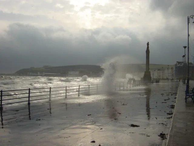
Austen, then Boelo, in an official October
A later official month has its own named storms. The October 2026 climate summary, headed “Mild and sunny with stormy spells,” and also “Oik Emshyraght Roonysvaie,” says rainfall totalled 109.2 mm, just 6% above average. The wettest day was the 23rd, when 23.7 mm fell during Storm Austen, “accounting for more than a fifth of the month’s total rainfall.” During Storm Boelo on the 24th, a gust of 71 mph was recorded, and an hourly mean speed of 46 mph on the 25th, “both ranking as the 4th highest October values on record.” [source]
A year earlier, the 2025 annual report had called October “the dullest on record, with only 50.8 hours” of sunshine. The next official October, by contrast, finished 12% above average at 119.6 hours, even with Austen and Boelo running through it. Same calendar month, a year apart, and almost seventy hours between them. [source] [source]
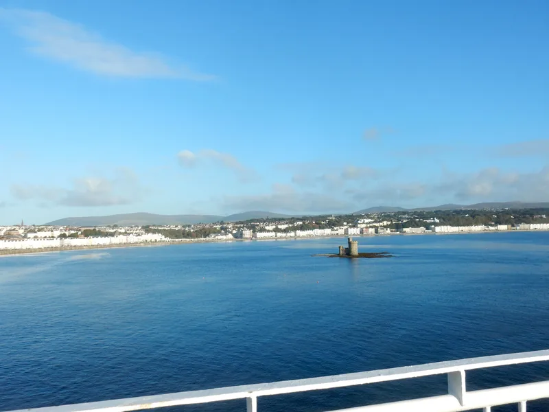
A desk at the edge of the Irish Sea
These days the office is in Viscount House, “and still has a long standing relationship with the UK Met Office, with access to their model data to be interpreted locally by our own duty forecasters.” Forecasts go out to shipping, agriculture and construction, and warnings of severe weather and tidal flooding go to the Department of Infrastructure and the emergency services. And unlike the UK, “any member of the public can call and speak to a forecaster direct.” [source]
Live forecasts and warnings belong on the official site, weather.gov.im. This site is for the stories those official pages already tell, if you sit with them long enough: a barn, a shared coat, sunshine burned onto cards, and a rare red warning.
Keep exploring
- Ronaldsway Met Office — from HMS Urley to Viscount House.
- Named storms on the island — Eowyn, Amy, Bram, Austen and Boelo, as the reports tell them.
- Discoveries — the coat, the cards, the telephone, and other official surprises.
- named.storms.im — how storms get their names, on the sister site.
Enjoyed this island weather desk?
No pop-ups. No intrusive advertising. Just interesting stuff. A little support helps the next storms site get built.