For families
A weather office, a shared coat, and a walk to the instruments
A gentler path through the official stories, for reading together: how the island’s weather has been written down since a barn in 1946, and why official warnings always come first.
Some of the best official stories at Ronaldsway are small enough to hold in one telling. The first observations were taken in a barn, on 7 May 1946, when the airfield was still a naval station called HMS Urley. A few weeks later the observers moved into the control tower. And then, the about-us page says, they kept going every hour of every day, including Christmas. [source]
In the early years they had to walk outside to read the instruments, because electrical thermometers did not arrive until 1972. There was no heating in the tower at first. In 1959 they were given a paraffin heater, and one duffle coat for all the staff to share. Later still, one oilskin, one pair of boots big enough for anybody’s feet, and one souwester. It is all on the official history page, including the boots. [source]
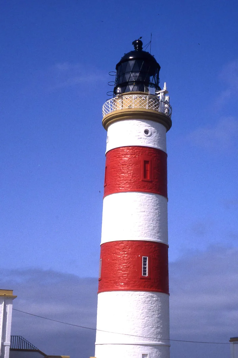
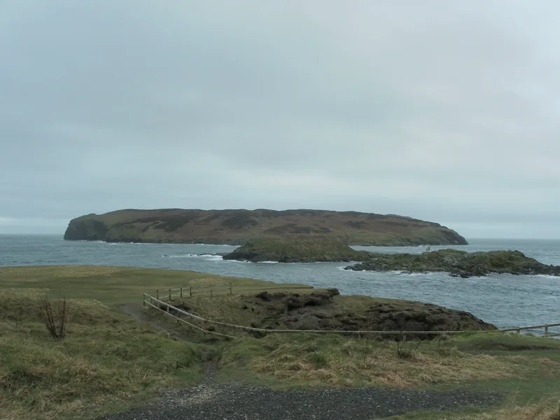
If you are looking at the photographs on this site together, it is worth saying what they are. The old colour pictures of Douglas and Ramsey in a rough sea are historic prints, not photographs of a particular named storm. The lighthouses, the castle, the cottage in the mist, and the Tower of Refuge are photographs of places on the coast, taken by named photographers, and they are not official weather measurements. They are here because the island’s weather is also a thing you can see from a promenade or a headland.
When the weather is severe now, the official place to look is weather.gov.im, not a page on this site. The about-us page also says that, unlike the UK, anyone can telephone and speak to a forecaster direct. [source] [source]
Older readers, or very curious younger ones, may enjoy the quiz and the timeline, and the three free fact sheets, which are typographic and have no photographs inside. The discoveries page is the one to open if you want the official surprises in a row: the locked door of 1973, the sunshine burned onto cards, and the year that lost a record after Christmas.
Keep exploring
- Ronaldsway Met Office — the official history, told in full.
- Play — a quiz and a timeline.
- Free fact sheets — three typographic PDFs, A4 and Letter.
Enjoyed this island weather desk?
No pop-ups. No intrusive advertising. Just interesting stuff. A little support helps the next storms site get built.